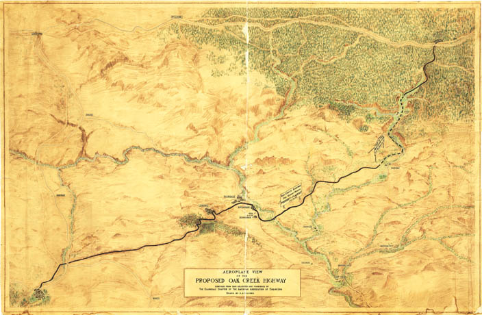
Map 76 -- Aeroplane view of the Proposed Oak Creek Highway
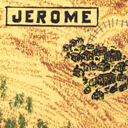
Detail
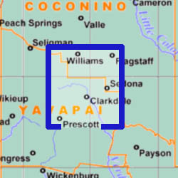
Location
Map 76 -- Aeroplane view of the Proposed Oak Creek Highway |
Detail |
|
|
|
|
Location |
|
|
|
Order |
| SCALE | 63k E-W, 100k N-S | DATE | c.1920 |
|---|---|---|---|
| AUTHOR | Gifford, A.J. | PUBLISHER | American Association of Engineers, Clarkdale Chapter |
| WIDTH X HEIGHT | 59 x 38 | FORMAT | color |
| PIXELS | 8797 x 5751 | RESOLUTION | 150 dpi |
| DIGITAL FILE | map0076.tif | SIZE & COLOR | 145 Mb RGB |
| ACCESSION NO. | CALL NO. | Map #76 | |
| LOCATION |
|
Pictorial map promoting completion of the Oak Creek section of 89A between Prescott and Flagstaff. |
Museum | Archives | Maps |
|