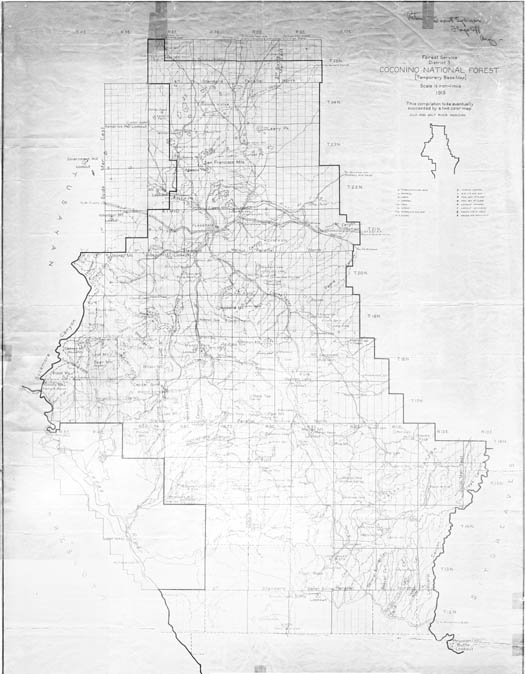
Map 77 -- Forest Service District no. 3 Coconino National Forest
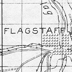
Detail
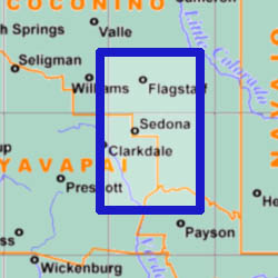
Location
Map 77 -- Forest Service District no. 3 Coconino National Forest |
Detail |
|
|
|
|
Location |
|
|
|
Order |
| SCALE | 126720 | DATE | 1915 |
|---|---|---|---|
| AUTHOR | PUBLISHER | U.S. Forest Service | |
| WIDTH X HEIGHT | 35 x 45 in. | FORMAT | |
| PIXELS | 10921 x 14228 | RESOLUTION | 300dpi |
| DIGITAL FILE | map0077.tif | SIZE & COLOR | 140 Mb grayscale |
| ACCESSION NO. | CALL NO. | Map #77 | |
| LOCATION |
|
Temporary base map. Extends from Pine to north of the San Francisco Peaks. Includes railroads, roads, creeks, springs, lakes, sawmills, cabins, ranger stations and ranches. |
Museum | Archives | Maps |
|