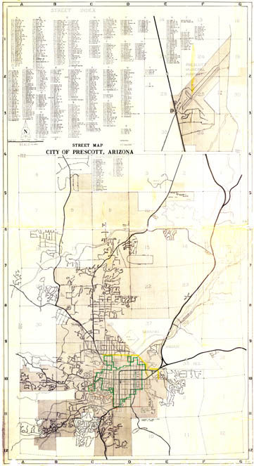
Map 790 -- Street Map, City of Prescott, Arizona
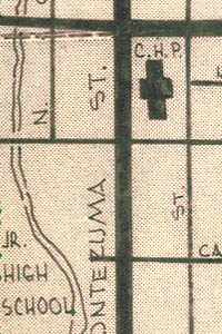
Detail
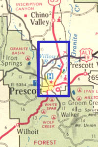
Location
Map 790 -- Street Map, City of Prescott, Arizona |
Detail |
|
|
|
|
Location |
|
|
|
Order |
| SCALE | 12000 | DATE | c1985 |
|---|---|---|---|
| AUTHOR | PUBLISHER | City of Prescott, Arizona | |
| WIDTH X HEIGHT | 36 x 66 in. | FORMAT | color |
| PIXELS | 5414 x 9965 | RESOLUTION | 150 dpi |
| DIGITAL FILE | map0790.tif | SIZE & COLOR | 154 Mb RGB |
| ACCESSION NO. | CALL NO. | Map #790 | |
| LOCATION |
Street map with index and section numbers. 1924 Sanborn map area is outlined in green, and c1940 city limits in red.
Museum | Archives | Maps |
|