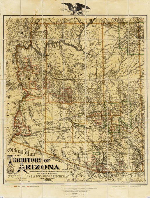
Map 792 -- Official map of the Territory of Arizona
|
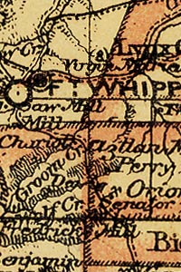
Detail
|
 |
 |
| |
| |
| |
|
|
| SCALE |
878000 |
DATE |
1880 |
| AUTHOR |
Eckoff, E. A. and Reicker, P. |
PUBLISHER |
|
| WIDTH X HEIGHT |
29 x 38 in. |
FORMAT |
hand-colored |
| PIXELS |
8589 x 11309 |
RESOLUTION |
300 dpi |
| DIGITAL FILE |
map0792.tif |
SIZE & COLOR |
278 Mb RGB |
| ACCESSION NO. |
|
CALL NO. |
Map #792 |
| LOCATION |
|
|
|
Map is divided into 35 panels mounted on canvas. A seamless digital file, map0792(seamless).tif, is available.
Shows county borders, mining districts, Indian reservations, and U.S. military telegraph.
Includes roads, railroads, historic place names, mines, forts and camps.