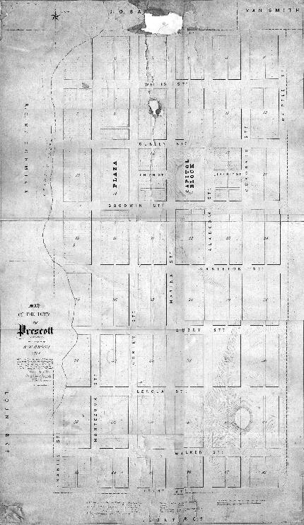
Map 794 -- Map of the town of Prescott, Arizona
Detail
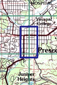
Location
Map 794 -- Map of the town of Prescott, Arizona |
Detail |
|
|
|
|
Location |
|
|
|
Order |
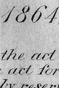
| SCALE | 1800 | DATE | 1864 |
|---|---|---|---|
| AUTHOR | Robert Groom | PUBLISHER | |
| WIDTH X HEIGHT | 24 x 40 in. | FORMAT | |
| PIXELS | 7087 x 11852 | RESOLUTION | 300 dpi |
| DIGITAL FILE | map0794.tif | SIZE & COLOR | 80 Mb grayscale |
| ACCESSION NO. | CALL NO. | Map #794 | |
| LOCATION |
Map of original Prescott townsite includes dimensions of lots and streets.
Surveyed by Robert Groom, drawn by A.F. Waldeman.
A second copy of this map was traced by W.F. Merritt in 1914 and is numbered map 794.1
Museum | Archives | Maps |
|