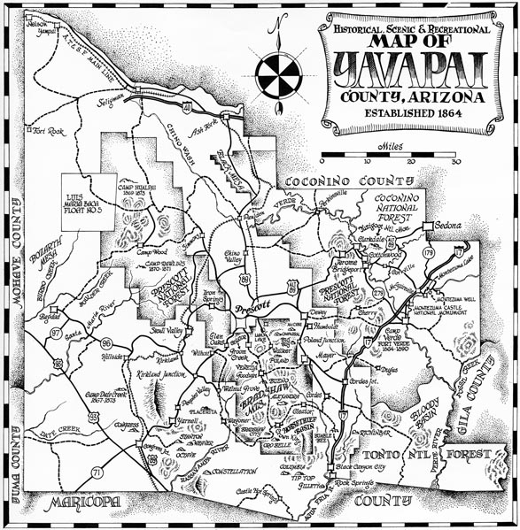
Map 8 -- Historical, Scenic and Recreational Map of Yavapai County,
with the rest of the Fascinating Fourteen Arizona Counties
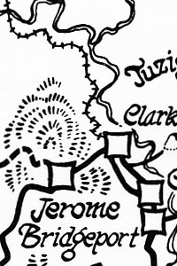
Detail
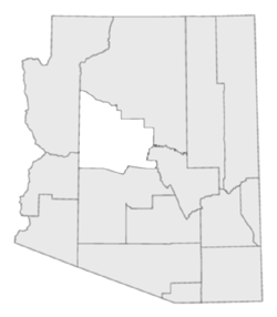
Location
Map 8 -- Historical, Scenic and Recreational Map of Yavapai County,
|
Detail |
|
|
|
|
Location |
|
|
|
Order |
| SCALE | 950000 | DATE | 1973 |
|---|---|---|---|
| AUTHOR | PUBLISHER | Arizona Republic | |
| WIDTH X HEIGHT | 8 x 8 in. | FORMAT | |
| PIXELS | 2346 x 2398 | RESOLUTION | 300 dpi |
| DIGITAL FILE | map0008.01.tif | SIZE & COLOR | 5 Mb grayscale |
| ACCESSION NO. | 2014.089 | CALL NO. | Map #8.01 |
| LOCATION | small maps box |
|
Series of twenty maps with descriptive text and photos, each 12 x 17 in printed one side, covering the fascinating fourteen Arizona Counties, with additional maps and descriptions of scenic areas. |
|
8.01 - Yavapai County The first 10 maps have been scanned |
8.11 - Apache County |
Museum | Archives | Maps |
|