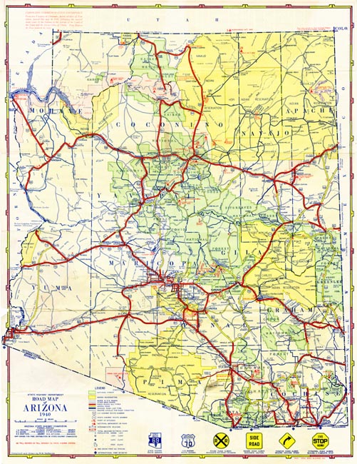
Map 810.1940 -- Road Map of Arizona 1940
|
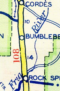
Detail
|
 |
 |
| |
| |
| |
|
|
| SCALE |
1330000 |
DATE |
1940 |
| AUTHOR |
DeMerse, W.M. |
PUBLISHER |
Arizona State Highway Department |
| WIDTH X HEIGHT |
17 x 22 in. |
FORMAT |
color |
| PIXELS |
5008 x 6482 |
RESOLUTION |
300 dpi |
| DIGITAL FILE |
map0810.1940.tif |
SIZE & COLOR |
93 Mb RGB |
| ACCESSION NO. |
|
CALL NO. |
Map #810.1940 |
| LOCATION |
|
|
|
Shows highway classifications, towns, national parks, forests and monuments, Indian reservations, and railroads.
Reverse includes index of towns, table of distances, points of interest, map of western United States.