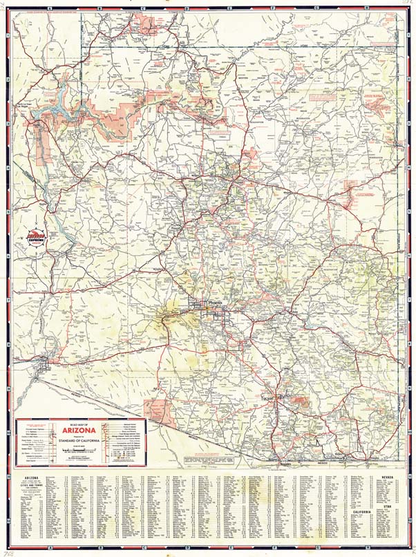
Map 811.1946 -- Road Map of Arizona
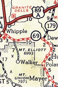
Detail


Map 811.1946 -- Road Map of Arizona |
Detail |
 |
|
 |
|
|
| SCALE | 1373000 | DATE | 1946 |
|---|---|---|---|
| AUTHOR | PUBLISHER | H.M. Gousha Co. | |
| WIDTH X HEIGHT | 18 x 24 | FORMAT | color |
| PIXELS | 5313 x 7113 | RESOLUTION | 300 dpi |
| DIGITAL FILE | map0811.1946.tif map0811.1946(reverse).tif |
SIZE & COLOR | 108 Mb RGB |
| ACCESSION NO. | 770238 | CALL NO. | Map #811.1946 |
| LOCATION |
Shows highway classifications, index of towns, national parks, forests and monuments, and Indian reservations.
Other side shown below.
.jpg)
Museum | Archives | Maps |
|