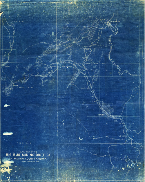
Map 878 -- Claim Map of the Big Bug Mining District
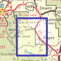
Detail

Location
Map 878 -- Claim Map of the Big Bug Mining District |
Detail |
|
|
|
|
Location |
|
|
|
Order |
| SCALE | 24000 | DATE | c1916 |
|---|---|---|---|
| AUTHOR | PUBLISHER | ||
| WIDTH X HEIGHT | 29 x 37 in. | FORMAT | blueprint |
| PIXELS | 8625 x 10780 | RESOLUTION | 300 dpi |
| DIGITAL FILE | map0878.tif | SIZE & COLOR | 266 Mb RGB |
| ACCESSION NO. | 81.83 | CALL NO. | Map #878 |
| LOCATION |
Shows mining claims, creeks and railroads.
Museum | Archives | Maps |
|