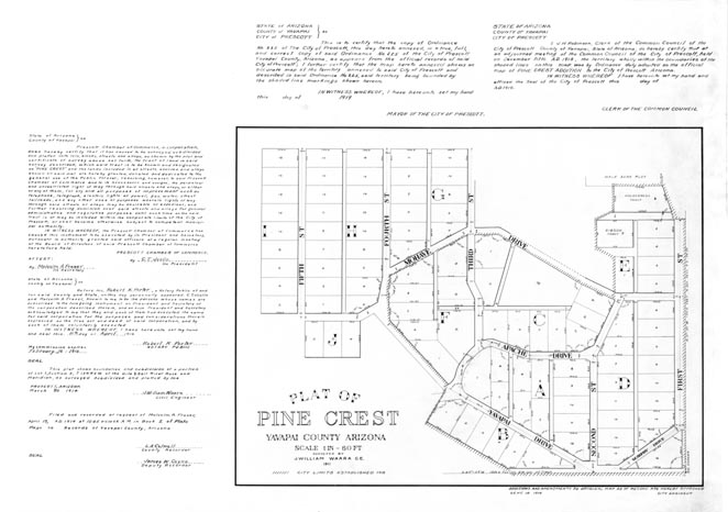
Map 91 -- Plat of Pine Crest Subdivision
Detail

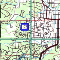
Location
Map 91 -- Plat of Pine Crest Subdivision |
Detail |
|
|
|
|
Location |
|
|
|
Order |
| SCALE | 720 | DATE | 1919 |
|---|---|---|---|
| AUTHOR | PUBLISHER | City of Prescott | |
| WIDTH X HEIGHT | 33 x 24 in. | FORMAT | blue on white |
| PIXELS | 9935 x 6955 | RESOLUTION | 300 dpi |
| DIGITAL FILE | map0091.tif | SIZE & COLOR | 66 Mb grayscale |
| ACCESSION NO. | CALL NO. | Map #91 | |
| LOCATION |
|
Surveyed by William Waara, 1911. Annotated with official declarations by Mayor, Court Clerk, Chamber of Commerce, etc. |
Museum | Archives | Maps |
|