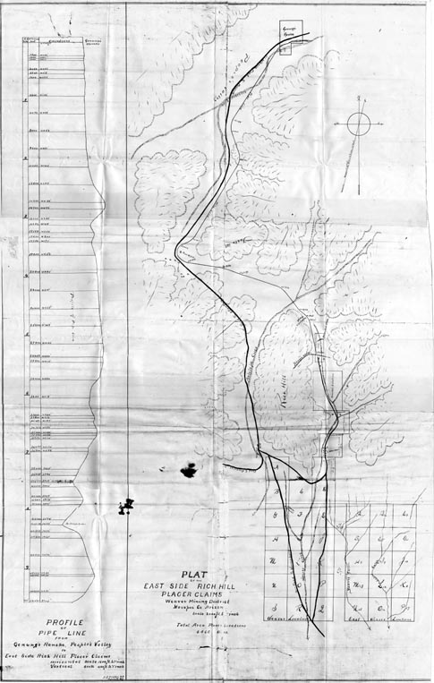
Map 94 -- Plat of the East Side Rich Hill Placer Claims, Weaver Mining District
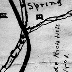
Detail
Location
Map 94 -- Plat of the East Side Rich Hill Placer Claims, Weaver Mining District |
Detail |
|
|
|
|
Location |
|
|
|
Order |
| SCALE | 24000 | DATE | c1890 |
|---|---|---|---|
| AUTHOR | Fisher, J.J. | PUBLISHER | |
| WIDTH X HEIGHT | 24 x 38 in. | FORMAT | |
| PIXELS | 7270 x 11443 | RESOLUTION | 300 dpi |
| DIGITAL FILE | map0094.tif | SIZE & COLOR | 79 Mb grayscale |
| ACCESSION NO. | CALL NO. | Map #94 | |
| LOCATION |
|
Shows road and water line from Genung's Ranche in People's Valley to the Rich Hill mining claims, and a profile of the pipe line at 1600 ft/in horizontal and 400 ft/in vertical. |
Museum | Archives | Maps |
|