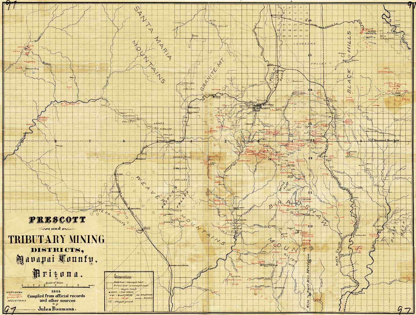
Map 97 -- Prescott and tributary mining districts
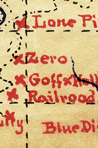
Detail
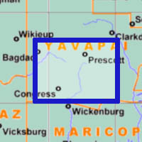
Location
Map 97 -- Prescott and tributary mining districts |
Detail |
|
|
|
|
Location |
|
|
|
Order |
| SCALE | 126720 | DATE | 1895 |
|---|---|---|---|
| AUTHOR | Baumann, Jules | PUBLISHER | Rand, McNally & Co. |
| WIDTH X HEIGHT | 36 x 27 in. | FORMAT | color |
| PIXELS | 10783 x 8172 | RESOLUTION | 300 dpi |
| DIGITAL FILE | map0097.tif | SIZE & COLOR | 252 Mb RGB |
| ACCESSION NO. | CALL NO. | Map #97 | |
| LOCATION |
|
Map includes mines, ranches, wagon roads, railroads, post offices, schools, mills, creeks and washes. Shows surveyed line of proposed Black Canyon railroad. |
Museum | Archives | Maps |
|