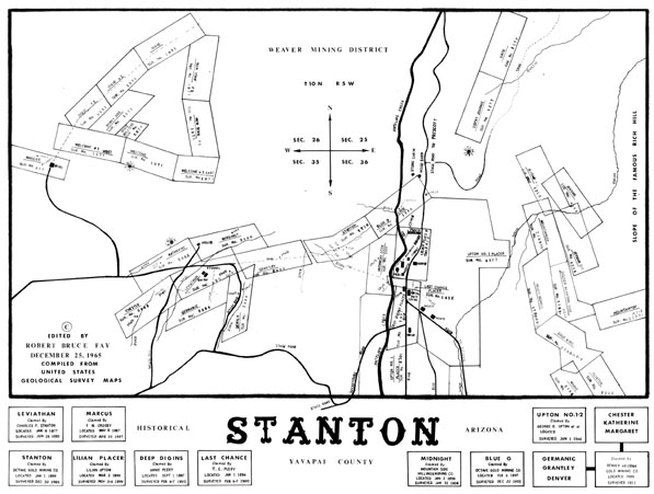
Map 99 -- Historical Stanton
Detail
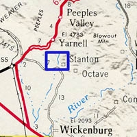
Location
Map 99 -- Historical Stanton |
Detail |
|
|
|
|
Location |
|
|
|
|
| SCALE | 4800 | DATE | 1965 |
|---|---|---|---|
| AUTHOR | Robert Bruce Fay | PUBLISHER | Robert Bruce Fay |
| WIDTH X HEIGHT | 37 x 28 | FORMAT | |
| PIXELS | 11000 x 8307 | RESOLUTION | 300 dpi |
| DIGITAL FILE | map0099.tif | SIZE & COLOR | 87 Mb grayscale |
| ACCESSION NO. | CALL NO. | Map #99 | |
| LOCATION |
|
Compiled from USGS maps of Weaver mining district. Shows mining claims with survey numbers. |
Museum | Archives | Maps |
|