Map 113 -- Rand, McNalley & Co.'s Arizona
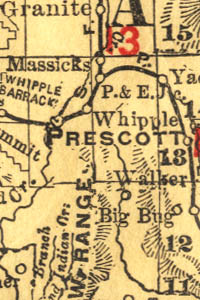
Detail
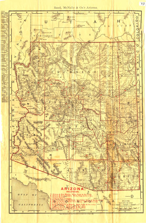
Map 113 -- Rand, McNalley & Co.'s Arizona |
Detail |
|
|
|
|
Order |
| SCALE | 1774000 | DATE | 1899 |
|---|---|---|---|
| AUTHOR | PUBLISHER | Rand, McNalley & Co. | |
| WIDTH X HEIGHT | 13 x 21 in. | FORMAT | |
| PIXELS | 4081 x 6241 | RESOLUTION | 300 dpi |
| DIGITAL FILE | map0113.tif | SIZE & COLOR | 73 Mb RGB |
| ACCESSION NO. | CALL NO. | Map #113 | |
| LOCATION |
|
Includes populations of towns and list of railroads. See map #114 for 1907 edition. |
Museum | Archives | Maps |
|