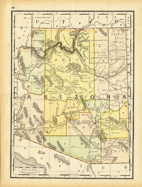
Map 121 -- Rand, McNalley & Co.'s New Family Atlas Map of Arizona
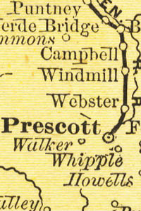
Detail
Map 121 -- Rand, McNalley & Co.'s New Family Atlas Map of Arizona |
Detail |
|
|
|
|
Order |
| SCALE | 2500000 | DATE | 1888 |
|---|---|---|---|
| AUTHOR | PUBLISHER | Rand, McNalley & Co. | |
| WIDTH X HEIGHT | 11 x 14 in. | FORMAT | color |
| PIXELS | 2916 x 3978 | RESOLUTION | 300 dpi |
| DIGITAL FILE | map0121.tif | SIZE & COLOR | 33 Mb RGB |
| ACCESSION NO. | CALL NO. | Map #121 | |
| LOCATION | Small maps box |
|
Shows counties, Indian reservations and railroads. Relief indicated by hachures. New Mexico is on reverse. See map #113 for 1899 edition. |
Museum | Archives | Maps |
|