|
First of a series produced for the Western United States Water Plan:
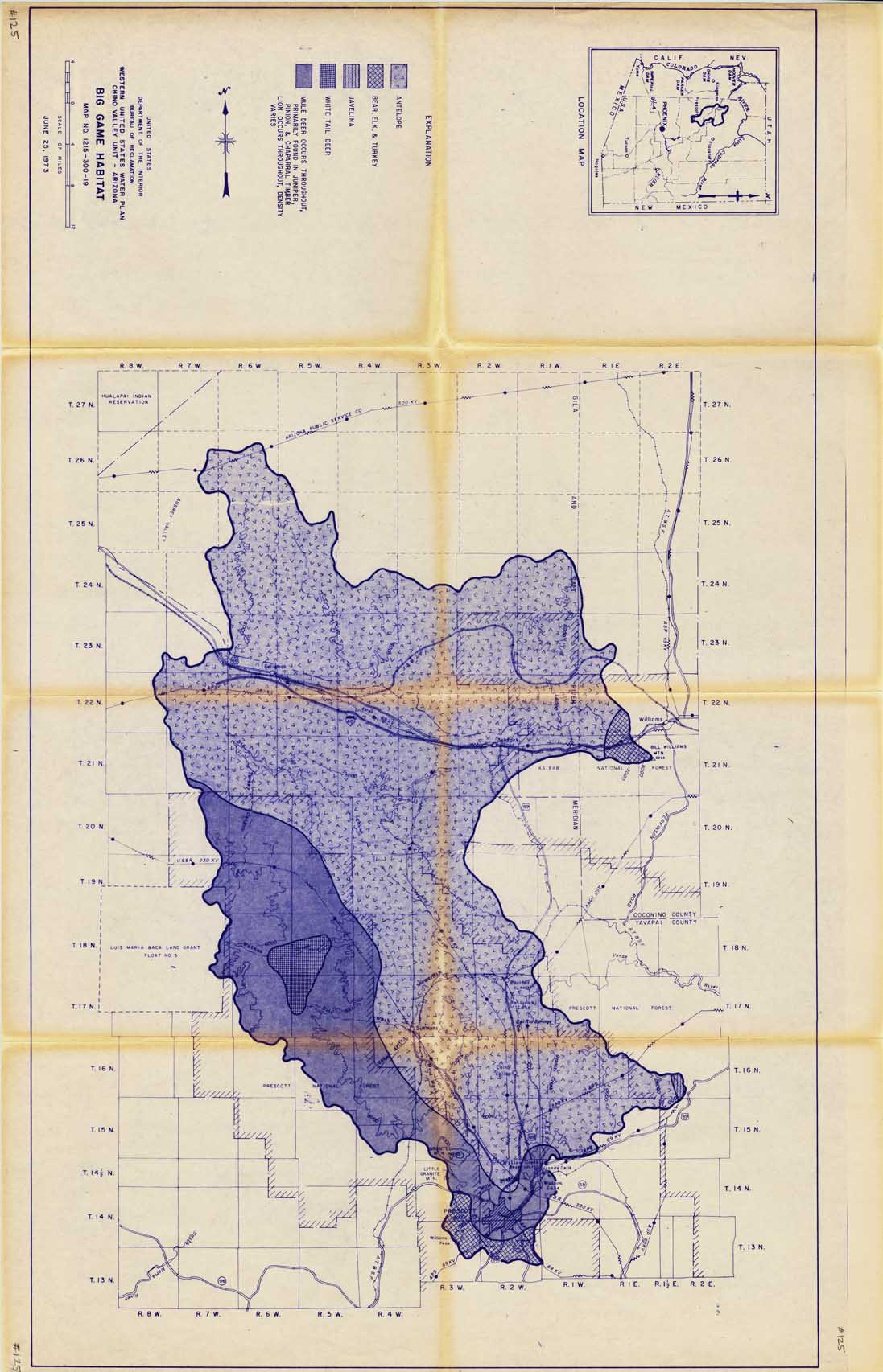
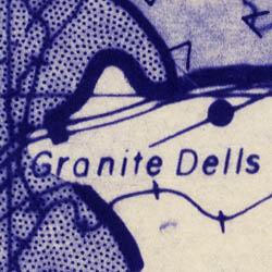
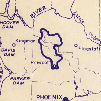
Map #125: Big Game Habitat
Map #126: Native Vegetation
Map #127: Urban and Industrial Land Use
Map #128: Lands Suitable for Recreation
Map #673: Land Ownership
Map #674: Major Transportation Routes and Supply Lines
Map #675: Potential Land Use
Map #676: Surface Water
Map #677: Small Game Habitat
Map #696: Thickness of fill deposits
Map #697: Generalized depth to water
Map #698: Potential well production
Map #699: Dissolved solids in ground water.
|