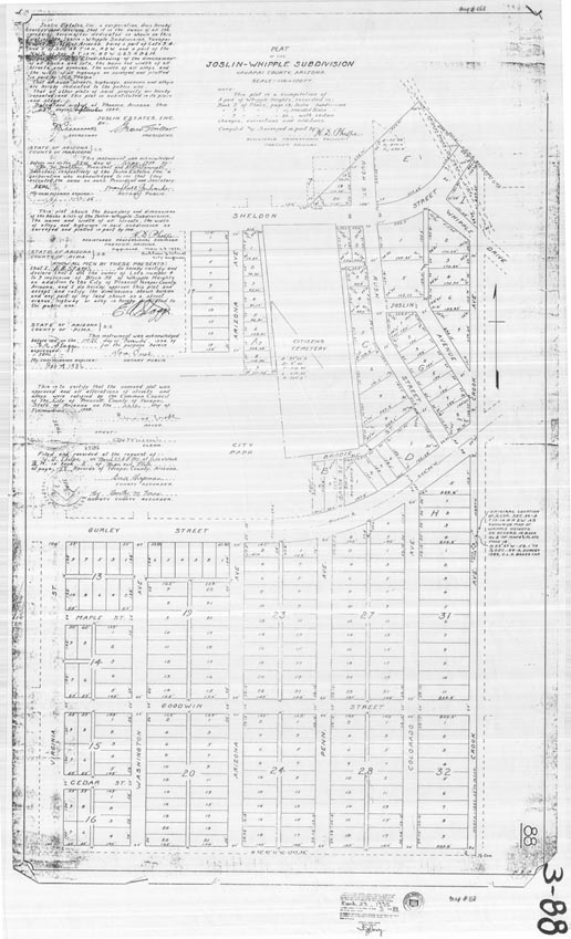
Map 168 -- Joslin-Whipple Subdivision plat and dedication
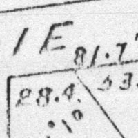
Detail
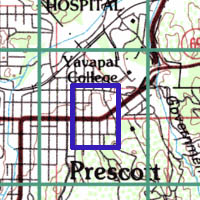
Location
Map 168 -- Joslin-Whipple Subdivision plat and dedication |
Detail |
|
|
|
|
Location |
|
|
|
Order |
| SCALE | 1200 | DATE | 1935 |
|---|---|---|---|
| AUTHOR | Phelps, H.D. | PUBLISHER | |
| WIDTH X HEIGHT | 27 x 38 in. | FORMAT | |
| PIXELS | 7038 x 11571 | RESOLUTION | 300 dpi |
| DIGITAL FILE | map0168.tif | SIZE & COLOR | 78 Mb grayscale |
| ACCESSION NO. | CALL NO. | Map #168 | |
| LOCATION |
Plat and dedication showing lots and streets around East Gurley and Citizens Cemetery.
Same area as Map #169 1908.
Museum | Archives | Maps |
|