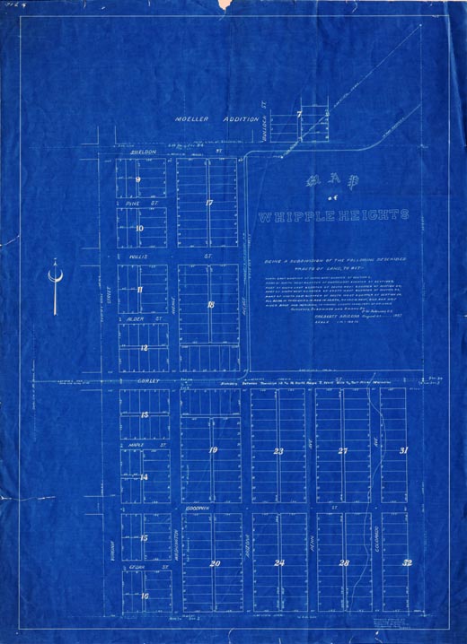
Map 169 -- Whipple Heights
Detail
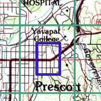
Location
Map 169 -- Whipple Heights |
Detail |
|
|
|
|
Location |
|
|
|
Order |
| SCALE | 1200 | DATE | 1907 |
|---|---|---|---|
| AUTHOR | Latimer, G.W. | PUBLISHER | |
| WIDTH X HEIGHT | 26 x 36 in. | FORMAT | blueprint |
| PIXELS | 7798 x 10768 | RESOLUTION | 300 dpi |
| DIGITAL FILE | map0169.tif | SIZE & COLOR | 240 Mb RGB |
| ACCESSION NO. | CALL NO. | Map #169 | |
| LOCATION |
Plat and recording showing lots and streets in east Prescott, and route of Prescott and Mt. Union R.R.
Same area as Map #168 1935.
Museum | Archives | Maps |
|