|
Spanish language place names, tribes and ethnographic information. Translation
of some blocks of text available.
This map appears in William Brandon, The American Heritage Book of
Indians, 1961, pp. 130-131, in the Archives Library, call no. 970.1
JOS. The caption reads:
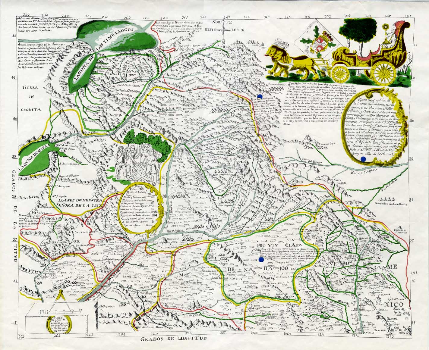
In Bernardo Miera's map, the Pope in his lion-drawn coach symbolizes
the majesty of the Catholic faith carried to the Indians. Miera accompanied
Father Silvestra Velez de Escalante on a 2000-mile expedition through
Colorado and Utah in 1776. Escalante reached Utah Lake (upper left),
heard rumors of the Great Salt Lake, encountered bearded Ute Indians
(left center), but failed to find the overland route he sought to California.
|