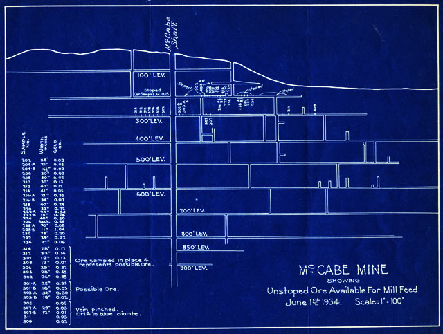
Map 24 -- McCabe Mine Showing Unstoped Ore Available for Mill Feed
Detail
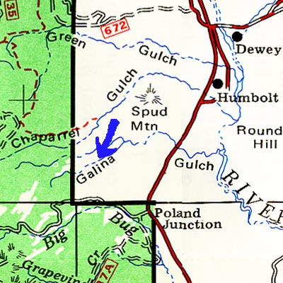
Location
Map 24 -- McCabe Mine Showing Unstoped Ore Available for Mill Feed |
Detail |
|
|
|
|
Location |
|
|
|
Order |
| SCALE | 1200 | DATE | 1934 |
|---|---|---|---|
| AUTHOR | PUBLISHER | ||
| WIDTH X HEIGHT | 11 x 8 in. | FORMAT | Blueprint |
| PIXELS | 3308 x 2508 | RESOLUTION | 300 dpi |
| DIGITAL FILE | map0024.tif | SIZE & COLOR | 24 Mb RGB |
| ACCESSION NO. | CALL NO. | Map #24 | |
| LOCATION | Small maps box |
Sectional view showing shafts and ore data.
See Map #14 and Map #25 for more views of this mine.
Location: W1121800 N0342830 on the Poland Junction topo quad.
Museum | Archives | Maps |
|