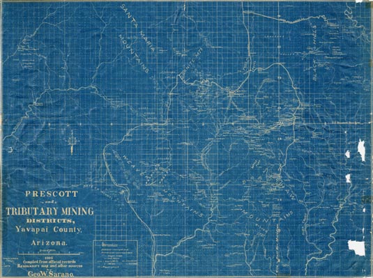
Map 59 -- Prescott and tributary mining districts, Yavapai County, Arizona
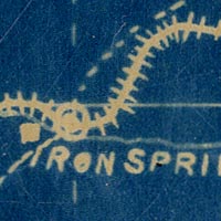
Detail
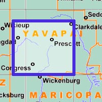
Location
Map 59 -- Prescott and tributary mining districts, Yavapai County, Arizona |
Detail |
|
|
|
|
Location |
|
|
|
Order |
| SCALE | 132000 | DATE | 1903 |
|---|---|---|---|
| AUTHOR | Sarano, G.W. | PUBLISHER | |
| WIDTH X HEIGHT | 36 x 27 in. | FORMAT | Blueprint |
| PIXELS | 10623 x 7969 | RESOLUTION | 300 dpi |
| DIGITAL FILE | map0059.tif | SIZE & COLOR | 242 Mb RGB |
| ACCESSION NO. | CALL NO. | Map #59 | |
| LOCATION |
|
"Compiled from official records, Baumann's map and other sources." Map includes mines, ranches, wagon roads, railroads, post offices, schools, mills, creeks and washes. This is an update of MAP #97, 1895. |
Museum | Archives | Maps |
|