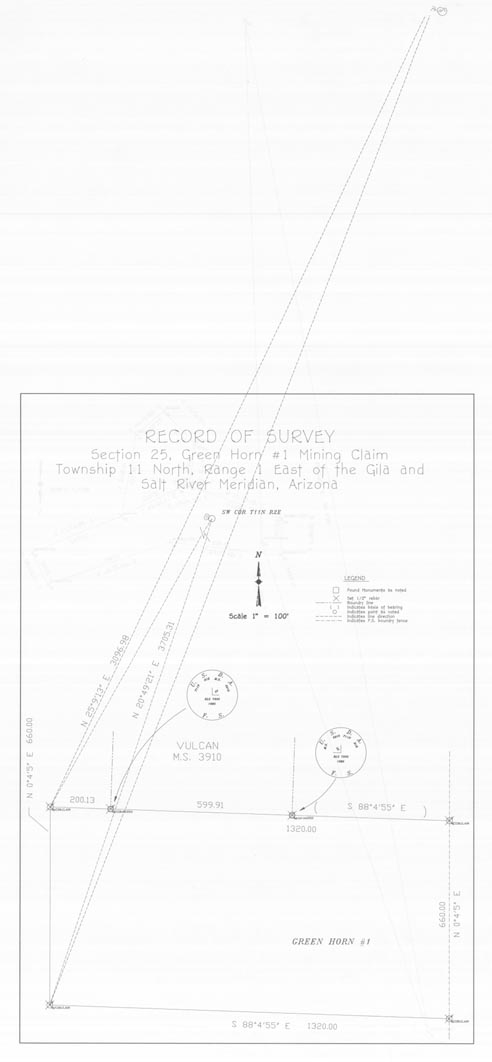
Map 182.1 -- Green Horn #1 Mining Claim, Record of Survey
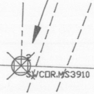
Detail


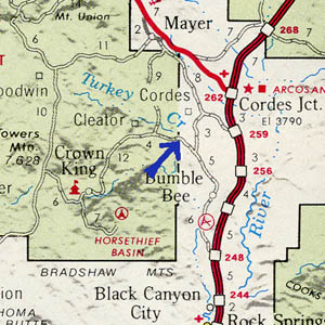
Location

Map 182.1 -- Green Horn #1 Mining Claim, Record of Survey |
Detail |
 |
|
 |
|
Location |
|
 |
|
Order |
| SCALE | 1200 | DATE | c.1990 |
|---|---|---|---|
| AUTHOR | PUBLISHER | ||
| WIDTH X HEIGHT | 16 x 36 in. | FORMAT | |
| PIXELS | 4919 x 10624 | RESOLUTION | 300 dpi |
| DIGITAL FILE | map0182.1.tif | SIZE & COLOR | 50 Mb grayscale |
| ACCESSION NO. | CALL NO. | Map #182.1 | |
| LOCATION |
Record of plat with survey marks and bearings, continued on reverse side.
Located on Turkey Creek at Cleator road and PNF boundary.
Coordinates W1121200 N0341600 Cleator quad.
See also maps 146, 182.2, 182.3, 182.4.
Museum | Archives | Maps |
|