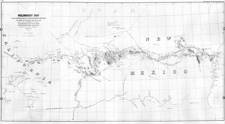
Map 90 - Preliminary map of the western portion of the reconnaissance and survey for a pacific rail road route near the 35th par.
Detail
Location
Map 90 - Preliminary map of the western portion of the reconnaissance and survey for a pacific rail road route near the 35th par. |
|
|
|
Detail |
Location |
|
|
Order |
|
| SCALE | 940000 | DATE | 1858 |
|---|---|---|---|
| AUTHOR | Beale, Edward Fitzgerald | PUBLISHER | U.S. War Department |
| WIDTH X HEIGHT | 50 x 29 in. | FORMAT | |
| PIXELS | 14759 x 8152 | RESOLUTION | 300 dpi |
| DIGITAL FILE | map0090.tif | SIZE & COLOR | 115 Mb grayscale |
| ACCESSION NO. | CALL NO. | Map #90 | |
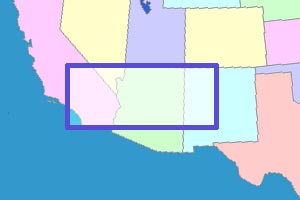
| LOCATION |
|
Survey "made by Capt. A.W. Whipple. T.E. in 1853-4. With additions
showing the route of the proposed wagon road from Fort Defiance to the
Colorado together with several lateral explorations by E.F. Beale, Supt.
1857-8." SEE ALSO: |
Museum | Archives | Maps |
|