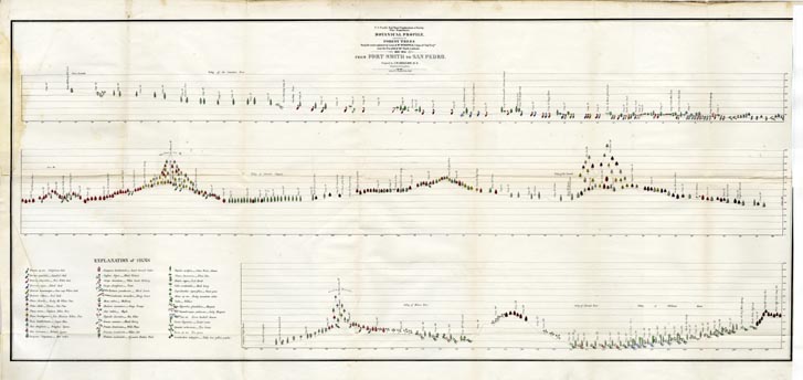
Map 936 - Botanical Profile from Fort Smith to San Pedro
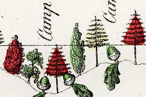
Detail
Map 936 - Botanical Profile from Fort Smith to San Pedro
|
|
|
|
Detail |
|
|
Order |
|
|
|
| SCALE | 967000 | DATE | 1854 |
|---|---|---|---|
| AUTHOR | Bigelow, J.M. | PUBLISHER | U.S. War Department |
| WIDTH X HEIGHT | 49 x 23 in. | FORMAT | |
| PIXELS | 14532 x 6888 | RESOLUTION | 300 dpi |
| DIGITAL FILE | map0936.tif | SIZE & COLOR | 286 Mb RGB |
| ACCESSION NO. | CALL NO. | Map #936 | |
| LOCATION |
|
Botanical profile of forest trees on the 35th parallel route from Fort Smith, Arkansas to San Pedro, California, surveyed by Lieut. A.W. Whipple. SEE ALSO: |
Museum | Archives | Maps |
|