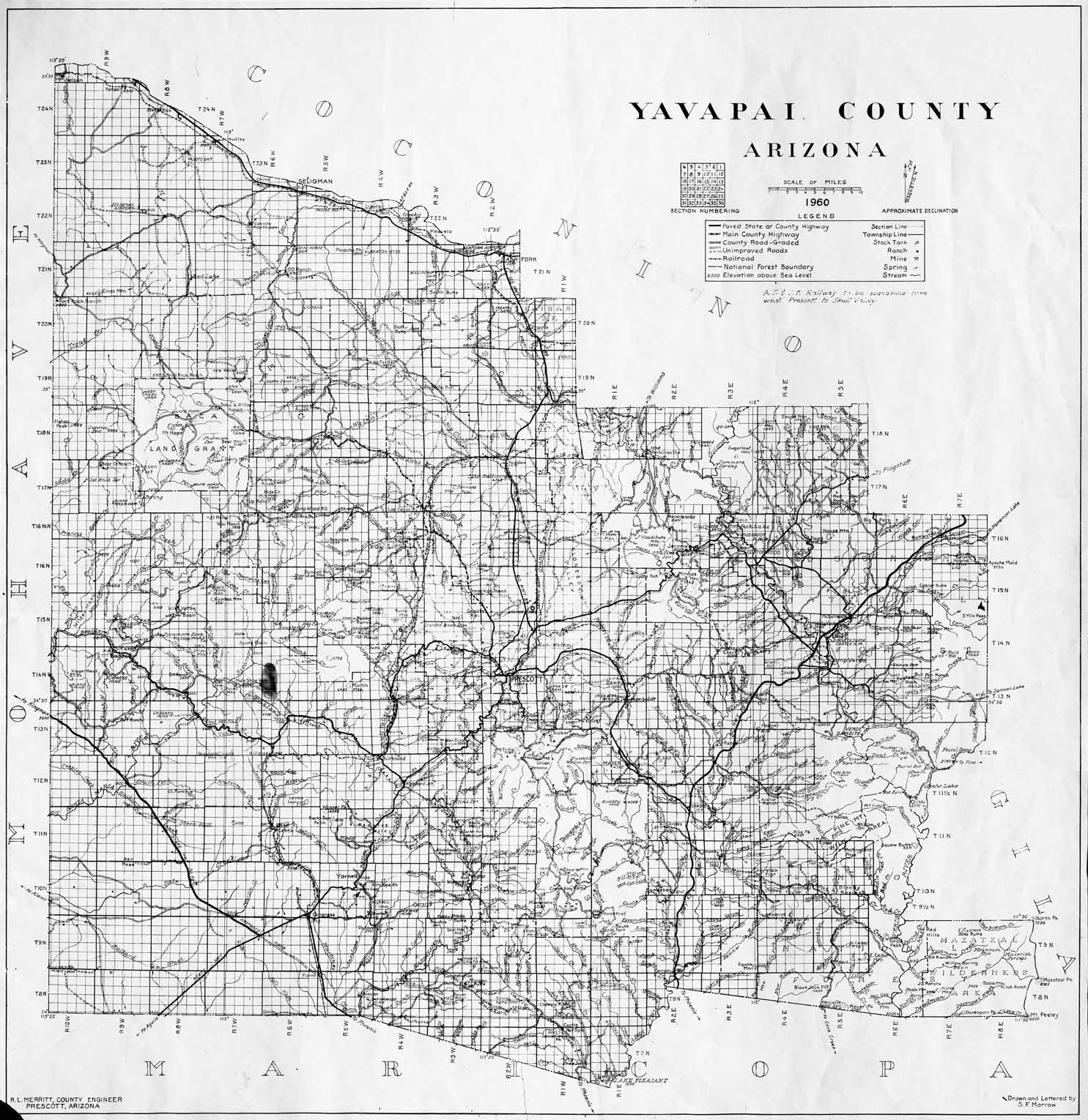
Map 237 -- Yavapai County, Arizona
Detail
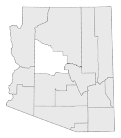
Location
Map 237 -- Yavapai County, Arizona |
Detail |
|
|
|
|
Location |
|
|
|
Order |
| SCALE | 253440 | DATE | 1960 |
|---|---|---|---|
| AUTHOR | R.L. Merritt, S.F. Morrow | PUBLISHER | Yavapai County |
| WIDTH X HEIGHT | 30 x 31 in. | FORMAT | |
| PIXELS | 8911 x 9177 | RESOLUTION | 200 dpi |
| DIGITAL FILE | map0237.tif | SIZE & COLOR | 78 Mb grayscale |
| ACCESSION NO. | CALL NO. | Map #237 | |
| LOCATION |
|
Map shows roads, townships and sections, national forests, railroads, mines, ranches, land and water features.. SEE ALSO: |
Museum | Archives | Maps |
|